
The current El Niño event could reach unprecedented strength, with sea surface temperatures in the tropical Pacific projected to rise to 3.8°C above average between November 2026 and January 2027, the World Meteorological Organization (WMO) has warned.
The warning comes as Kenya enters the October-December short-rains season, which is critical for crop production, pasture and water supplies, particularly in arid and semi-arid areas.
WMO Secretary-General Celeste Saulo said the projected intensity was beyond the range of monitoring charts used over the past four decades.
“This is literally off the monitoring charts that we have used for the past four decades. El Niño will peak towards the end of 2026, but its impacts will be felt long after that,” she said.
The WMO declares an El Niño when sea surface temperatures in the tropical Pacific rise at least 0.5°C above average.
A very strong event can disrupt normal temperature and rainfall patterns, causing drought in some regions and heavy rainfall and flooding in others. It can also increase temperatures across large parts of the world.
Saulo said the resulting extreme weather did not have to become a humanitarian disaster if governments acted early.
“But a powerful El Niño does not have to be a recipe for humanitarian disaster. We have the science, the forecasts and the early warning systems to save lives and protect livelihoods. What we need now is decisive action, especially to protect the most vulnerable communities,” she said at a joint press conference with UN Under-Secretary General for Humanitarian Affairs Tom Fletcher.
The WMO said the window for preparedness remained open in many regions but warned that it would not last indefinitely. It urged governments and humanitarian organisations to use scientific forecasts to anticipate risks and protect vulnerable populations.
The latest Global Seasonal Climate Update shows that El Niño conditions strengthened between July and September 2026. The monthly Niño 3.4 index rose from 2.0°C to 2.8°C above average, confirming sustained warming across the equatorial Pacific.
The forecast for November 2026 to January 2027 indicates an increased likelihood of above-normal rainfall across the central and eastern equatorial Pacific.
It also points to a higher probability of above-normal rainfall from the Arabian Peninsula through Central Asia and into parts of East Asia.
Across equatorial Africa, the Greater Horn of Africa has an increased probability of above-normal rainfall.
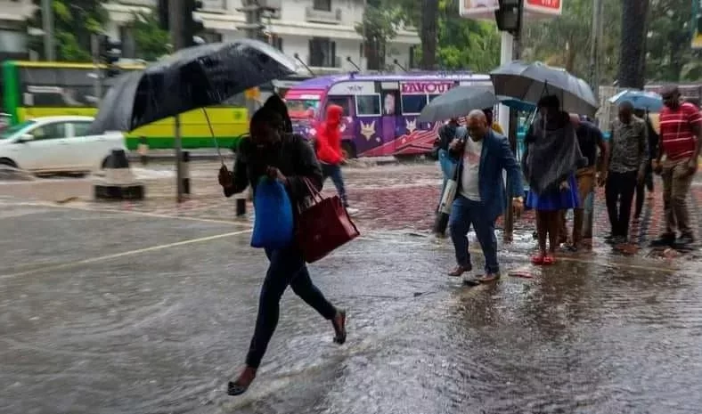
In Kenya, the Meteorological Department has forecast above-average rainfall over much of the country during the short-rains season, although the onset and distribution will vary by region.
The department’s latest weekly forecast indicates possible rainfall in parts of Nairobi, Kiambu, Embu, Meru, Machakos, Kitui, Makueni, Nakuru, Kisumu, Kakamega, Bungoma, Busia, Kisii, Mombasa and Garissa, among other counties.
Morning showers are possible along the Coast, including Kwale, Mombasa, Kilifi, Tana River and Lamu. Afternoon showers and thunderstorms are expected in parts of western Kenya, including Bungoma, Busia, Kakamega, Kisumu, Siaya and Trans Nzoia.
However, sunny conditions and high temperatures are expected to persist in some areas, particularly in northern and eastern Kenya.
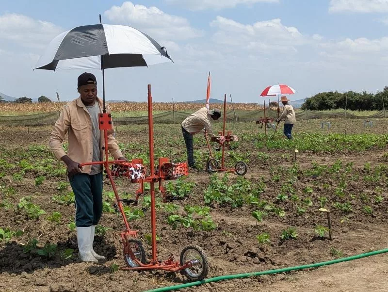
The continued wait for dependable rainfall has left farmers uncertain about when to plant, despite forecasts pointing to improved rainfall prospects.
Kenya Meteorological Department deputy director Kennedy Thiong'o urged farmers to consult local forecasts when making planting decisions rather than relying solely on the national outlook.
“County-specific forecasts are available from the offices of respective county directors of meteorological services,” he said.
The WMO said timely forecasts and early action would be critical in helping countries prepare for the potential effects of the strengthening El Niño.
INSTANT ANALYSIS
The warning of an unprecedented El Niño puts Kenya’s preparedness to the test as farmers enter the short-rains season amid rising temperatures and uncertainty over rainfall. Above-average rainfall could improve crop production, pasture and water supplies, but uneven distribution could expose communities to flooding or prolonged dry spells.
The challenge for authorities is to translate forecasts into timely action, helping farmers and vulnerable households prepare before extreme weather triggers humanitarian emergencies.