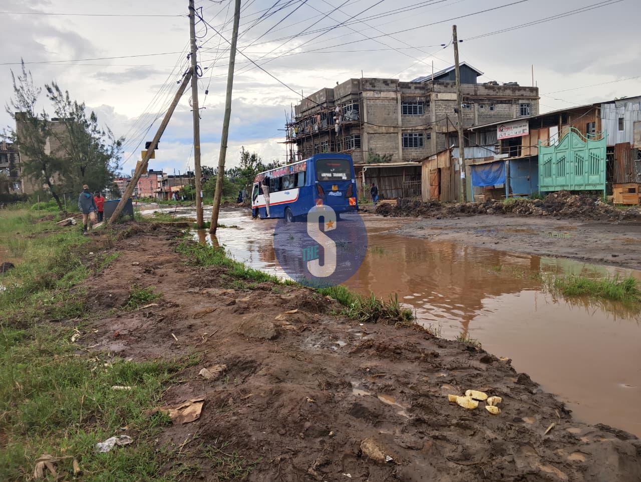
 Flooded sections of a road in Kiambu on April 28, 2026. PHOTO/MOSES MWANGI
The government has identified 59 flood-prone areas in Tana River County, raising alarm over rising water levels and a growing humanitarian crisis across the country.
In a press update released on May 3, authorities said the mapping exercise covered all five sub-counties, with Tana Delta emerging as the most affected.
“Majority of the areas (32) at risk of flooding are in the Tana Delta Sub-county,” the statement said, with additional hotspots spread across Tana River, Bangale, Tarasaa and Tana North sub-counties.
The government linked the increased risk to swelling river levels at the Seven Forks Dam, warning that the situation could worsen if heavy rains persist.
The findings come amid a broader wave of flooding being experienced across multiple regions. As of May 2, a total of 18 fatalities had been recorded nationwide, most of them linked to drowning.
The Eastern region has reported the highest number of deaths at nine, followed by Central with three. The Coast, Nairobi and Rift Valley regions have each recorded two fatalities.
In Nairobi, the impact has been severe. Flooding has affected an estimated 6,600 people, with damage reported to roads, schools and residential areas across several sub-counties.
Central Kenya has also been hit hard. Counties such as Kirinyaga and Kiambu have reported widespread flooding of homes and destruction of key infrastructure, including bridges and roads.
“Mwea West alone has approximately 3,000 people displaced,” the report noted.
In the Eastern region, Makueni recorded the highest fatalities, with flash floods and mudslides destroying homes and damaging roads and power infrastructure.
The government has now listed dozens of high-risk zones in Tana Delta, including Feji, Kiembe, Halubha, Sera, Bwoka and Kipini Division, among others.
Additional areas flagged in Tana River Sub-county include Masabubu, Rhoka, Kinakomba-Boji and Mkomani, while Bangale, Tarasaa and Tana North sub-counties also have several vulnerable locations.
Residents living along the Lower Tana River and other flood-prone regions have been urged to remain vigilant and act swiftly when directed.
“Locals, residents and communities living along the Lower Tana River, and in other flood-prone areas… are advised to remain on high alert and to immediately move to higher ground when instructed by security authorities,” the statement said.
The government said it is working with multi-agency teams to monitor the situation and coordinate response efforts across affected areas.
Authorities warned that continued rainfall could escalate the crisis, urging communities to prioritise safety as emergency operations intensify nationwide.


Comments 0
Sign in to join the conversation
Sign In Create AccountNo comments yet. Be the first to share your thoughts!