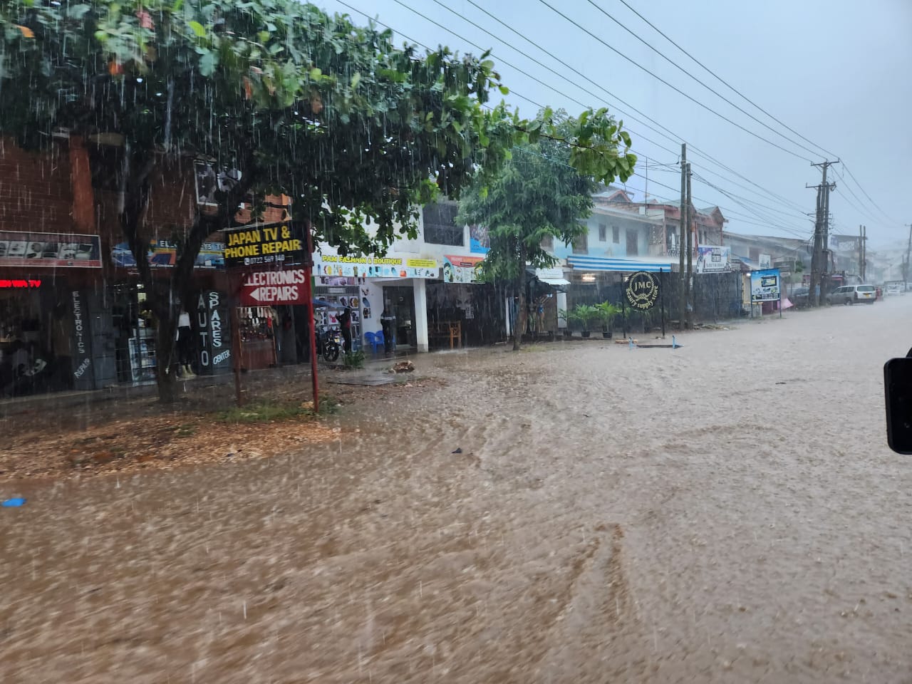
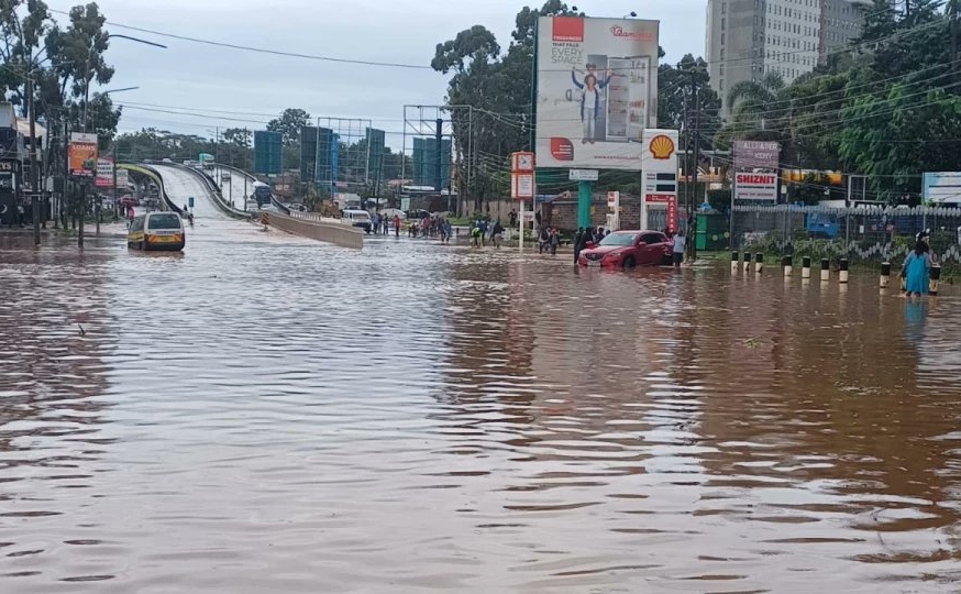
Farmers should expect a short break in the ongoing rains after next week, the weatherman has said.
Acting Director of the Kenya Meteorological Department Edward Muriuki said the dry spell is expected as a shifting tropical rain system, known as the Madden–Julian Oscillation, moves into a phase that reduces cloud formation and rainfall over Kenya.
“Rainfall is likely to be enhanced over much of the country during the first half of March. Dry spells are expected to occur during the second half of the month when the Madden–Julian Oscillation (MJO) is predicted to be in unfavourable phases,” Muriuki said.
The timing and strength of the March–April–May rainfall are often influenced by the MJO, a travelling pattern of convective clouds, rainfall and winds that moves eastwards around the equator, as well as by tropical cyclone activity in the Indian Ocean.
He said the rains will return at the end of March and that the entire country will experience rainfall in April, which is considered the peak of the long rains season.
The rains will end in late May for some parts of the country, Muriuki said.
“April is anticipated to be the climactic peak. During this period, isolated heavy rainfall events may occur nationwide. While the season is expected to conclude for most parts of the country by late May, the highlands west of the Rift Valley, central Rift Valley, the Lake Victoria Basin and the Coastal region are notable exceptions. In these areas, rainfall is likely to extend well into June,” he said.
North-eastern counties, including Marsabit, Mandera, Wajir, Garissa and Isiolo, are forecast to receive near-average rainfall, with intermittent showers in early March and onset expected in the first to second week of April.
Mean temperatures are likely to be warmer than average over most parts of the country, especially the Coast and north-eastern Kenya.
At the same time, global forecasters have predicted that El Niño, which brings heavy rains to Kenya, could return.
The World Meteorological Organization (WMO) said the recent weak La Niña event is fading and neutral conditions (ENSO) are likely in the coming months.
“WMO Global Producing Centres forecasts indicate a 60 per cent chance of ENSO neutral conditions during March–May 2026, rising to a 70 per cent chance during April–June,” the agency said in its latest update.
“During May–July, the chance of neutral conditions is 60 per cent, while the chance of an El Niño increases steadily to around 40 per cent,” WMO said.
El Niño can influence rainfall patterns worldwide, including in East Africa, where it brings heavy rains.
“The WMO community will be carefully monitoring conditions in the coming months to inform decision-making. The most recent El Niño, in 2023–24, was one of the five strongest on record and played a role in the record global temperatures observed in 2024,” said WMO secretary general Celeste Saulo.
The agency also warned that El Niño forecast uncertainty is higher at this time of year due to the so-called spring predictability barrier.
Saulo added, “Seasonal forecasts for El Niño and La Niña help us avert millions of dollars in economic losses and are essential planning tools for climate-sensitive sectors such as agriculture, health, energy and water management. They are also a key part of the climate intelligence provided by WMO to support humanitarian operations and disaster risk management, and thus save lives.”


Comments 0
Sign in to join the conversation
Sign In Create AccountNo comments yet. Be the first to share your thoughts!