The Government has mapped 59 flood-prone areas across Tana River county, amid rising concerns over increasing water levels along the Tana River.
According to the latest assessment, Tana Delta Subcounty has the highest number of at-risk areas at 32, followed by Tana River Sub-county (10), Bangale (8), Tarasaa (6), and Tana North (3).
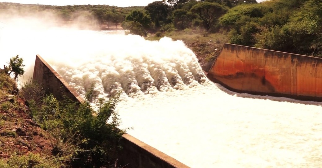
The mapping comes in the wake of alerts linked to swelling water levels from the Seven Forks Dam, raising fears of widespread flooding downstream.
The situation in Tana River mirrors a broader national crisis, with 18 flood-related deaths recorded across the country as of May 2, 2026, most caused by drowning.
The Eastern Region has reported the highest fatalities (9), followed by Central (3), Coast (2), Nairobi (2) and Rift Valley (2).
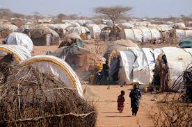
In Nairobi, flooding has affected an estimated 6,600 people, displacing families and damaging roads, schools, and homes across several sub-counties.
Counties in the Central region, including Kirinyaga County and Kiambu County, have reported extensive destruction of infrastructure, including roads and bridges. In Mwea West, about 3,000 residents have been displaced.
In Eastern Kenya, Makueni County has recorded the highest number of fatalities, with flash floods and mudslides destroying homes and damaging roads and power lines.
Most affected areas in Tana Delta
Low-lying areas in Tana Delta Subcounty identified as highly vulnerable include Feji, Kiembe, Halubha, Sera, Bwoka, Tsanankuu, Godhey, Dobaley, Abaganda, Salama, Ndera, Wema, Galili, Chira, Bilisa, Shirikisho, Kipini, Miliki, Majaliwa, Onido, Ndiponi, Kau, Kilelengwani, Kalota, Pungaupepo, Kidhanga, Diribu, Magogoni B, Kajisten, Ndimimbii, Ribe A, and Ozi Mtangani.
Other affected areas include:
Tana River Subcounty: Masabubu, Rhoka, Kinakomba-Boji, Emmaus, Watta Hamesa, Vukoni, Mkomani, Bondeni, Laza-Makaburini, Makere
Bangale Subcounty: Bowa, Mbalambala, Mororo, Saka, Madogo, Tula, Ziwani, Bulto Banta
Tana North Subcounty: Bura, Chewele, Hirimani
Tarasaa Subcounty: Kipao, Ongonyo, Odole, Konemansa, Kigomo, Manono
Authorities have urged residents living along the Lower Tana River and other flood-prone regions—including Coast, Northeastern, Highlands, Rift Valley, and Nairobi—to remain vigilant and move to higher ground when advised.
The government, working with multi-agency response teams, says it is continuing to monitor the situation and coordinate emergency response efforts nationwide.


Comments 0
Sign in to join the conversation
Sign In Create AccountNo comments yet. Be the first to share your thoughts!