The government has identified 37 flood-prone areas in Nairobi as heavy rainfall continues to pound the capital and other parts of the country.
According to the Ministry of Interior and National Administration, the ongoing rains have significantly increased the risk of flooding in both urban and rural areas, with Nairobi emerging as one of the most affected regions.
Officials said the flood-prone locations were identified through a mapping exercise conducted under the Nairobi Rivers Regeneration Programme, which focuses on restoring the city’s river systems and improving disaster preparedness.
The mapping identified 37 neighbourhoods located along major river corridors and areas vulnerable to flooding due to their proximity to the Nairobi River and its tributaries.
“In light of the ongoing heavy rains, residents living near riparian zones and low-lying areas are advised to remain vigilant and prioritize their safety,” the ministry said in a statement.
“Multi-agency disaster response teams continue to coordinate relief and response efforts in the affected areas.”
In the Nairobi East corridor, areas identified as flood-prone include Kiambiu, Dandora, Kariobangi, Kayole, Komarock, Njiru, Ruai, Mwiki, Donholm, Savannah, Tassia and Fedha.
Many of these neighbourhoods lie downstream along sections of the Nairobi River and are susceptible to flooding when water levels rise.
In the western parts of the city, the ministry identified areas such as Madaraka, Nairobi West, Lang’ata, Kawangware, Kangemi, Lavington, Westlands, Parklands, Kitisuru, Spring Valley, Kileleshwa and Chiromo as vulnerable to flooding.
These areas sit along upstream and midstream sections of the city’s river network.
The Nairobi North corridor has also been flagged as high risk, particularly densely populated settlements located along the Mathare River.
Areas identified here include Mathare, Korogocho and Lucky Summer, where informal settlements lie dangerously close to riverbanks.
Within the city centre, locations along the river corridor such as the Nairobi Central Business District, Globe Cinema Roundabout, Gikomba Market, Eastleigh and the Industrial Area have also been marked as flood-prone due to the passage of the Nairobi River through these zones.
In the southern parts of Nairobi, the mapping exercise identified areas along the Ngong River corridor including Kilimani, Kibera, South C, South B, Mukuru Kwa Reuben and Kwa Njenga.
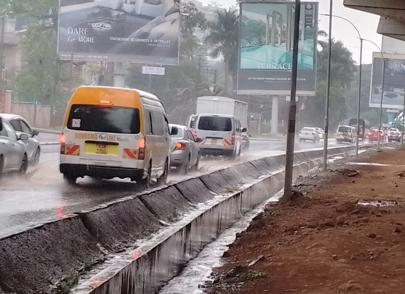
The identification of the flood-prone areas comes as heavy and persistent rainfall continues to cause widespread disruption across the capital.
Flooding was reported in several parts of the city on Saturday night, with areas such as Parklands, the CBD, Ngong Road near Ngando, Lower Kabete, Kibera, Kilimani, South B, Kawangware, Lang’ata, Lavington, Eastleigh and Riruta experiencing rising waters.
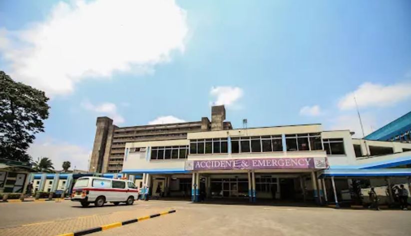
Emergency teams said at least 11 people were rescued during the night after being trapped in flooded zones.
Major traffic disruptions were also reported along key transport corridors, including the Nairobi Expressway near the Museum Hill exit, Limuru Road, Bunyala Road and Lusaka Road, where sections became impassable due to floodwaters.
Authorities have urged residents to avoid crossing flooded roads and rivers and to report emergencies to local disaster response teams as the rains are expected to continue in the coming days.


Comments 0
Sign in to join the conversation
Sign In Create AccountNo comments yet. Be the first to share your thoughts!