

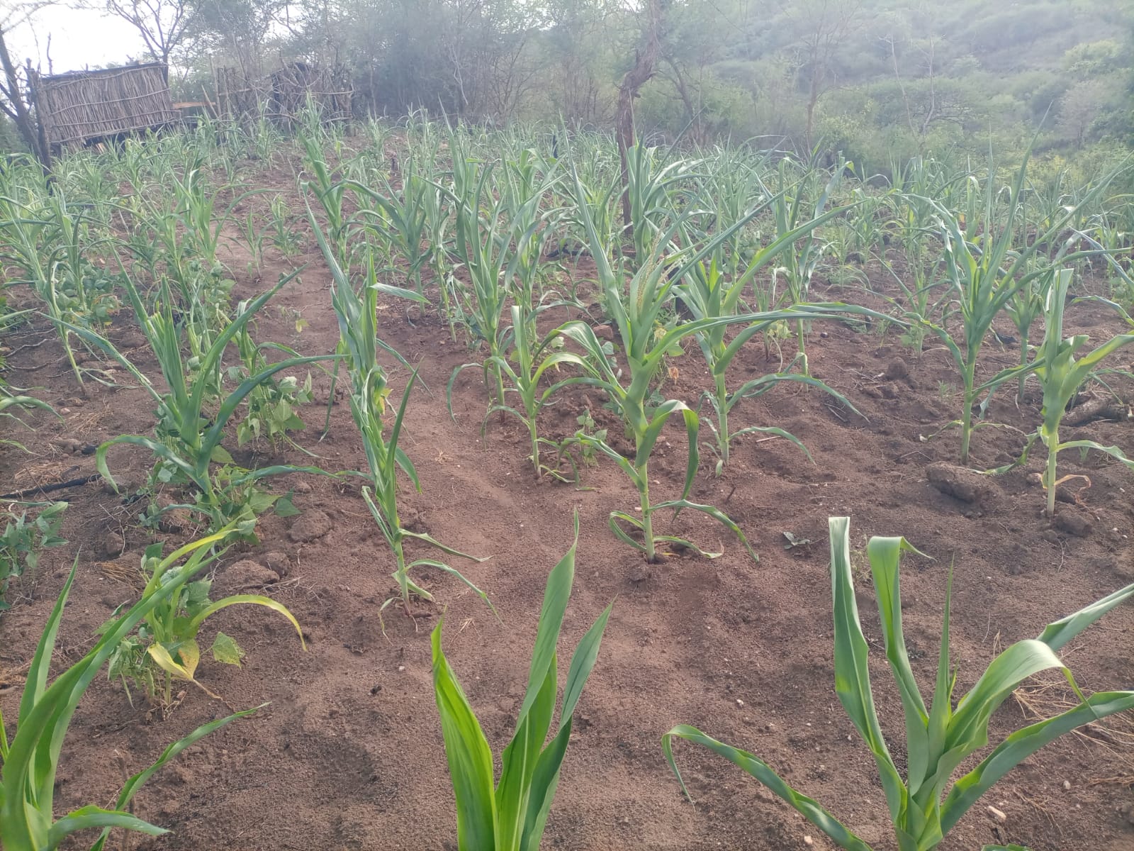
Many parts of the country could receive rain from the weekend, offering hope to farmers as high daytime temperatures continue.
The Met department predicted rainfall in parts of Nairobi, Kiambu, Embu, Meru, Machakos, Kitui, Makueni, Nakuru, Kisumu, Kakamega, Bungoma, Busia, Kisii, Mombasa and Garissa.
The weather service said it expected showers in some of these areas, but sunny conditions will continue in parts of those counties.
The continued wait for dependable rainfall has added to public frustration, particularly among farmers facing hot conditions and uncertainty over when to plant. Temperatures are also expected to remain high in parts of northern and eastern Kenya.
The weekly forecast says morning showers are possible along the Coast, including Kwale, Mombasa, Kilifi, Tana River and Lamu.
Afternoon showers and thunderstorms are expected in parts of western including Bungoma, Busia, Kakamega, Kisumu, Siaya and Trans Nzoia, while other counties may receive afternoon or night showers.
Kenya Meteorological Department deputy director Kennedy Thiong'o said, rainfall is expected in parts of Meru, Embu, Baringo, Bomet, Bungoma, Busia, Elgeyo Marakwet, Garissa, Homa Bay, Kajiado, Kakamega, Kericho, Kiambu, Kilifi, Kirinyaga and Kisii.
Others are Kisumu, Kitui, Kwale, Laikipia, Lamu, Machakos, Makueni, Mandera, Marsabit, Migori, Mombasa, Murang'a, Nairobi, Nakuru, Nandi, Narok and Nyamira.
Other areas include Nyandarua, Nyeri, Siaya, Taita Taveta, Tana River, Tharaka Nithi, Trans Nzoia, Turkana, Uasin Gishu, Vihiga, Wajir and West Pokot counties.”
The forecast comes as the country enters the October to December short-rains season, which is important for farmers in many dry areas because it supports crop growing, pasture and water supplies.
The Kenya Meteorological Department has forecast above-average rainfall over much of the country during this season. However, the start and distribution of the rains will vary between regions.
The World Meteorological Organization (WMO) has also warned that a strengthening El Niño is likely to influence weather patterns around the world in the coming months. El Niño occurs when waters in parts of the tropical Pacific Ocean become warmer than normal, affecting rainfall and temperatures in different regions.
Kenyan Farmers are being encouraged to use local weather updates when deciding when to plant, rather than relying on the national outlook alone.
“County specific forecasts are available from the offices of respective county directors of meteorological services,” Thiong’o said.
The latest weekly forecast also shows the heat will persist in some areas.
Average daytime temperatures above 35 degrees Celsius are expected in parts of Garissa, Wajir, Tana River, Isiolo, Kilifi, Marsabit, Samburu and Turkana. Lodwar is forecast to reach a maximum of 38 degrees Celsius, while Mandera could reach 37 degrees.
The weather service recorded a maximum temperature of 38.2 degrees Celsius in Lodwar on October 14, underlining the hot conditions in parts of northern Kenya.
The met report came as Tanzania said it was monitoring a low-pressure system in the Indian Ocean that could strengthen into a tropical cyclone within four days, potentially increasing rainfall along its coast from October 24.
The Tanzania Meteorological Authority said it could strengthen weather systems associated with rainfall along the coast and neighbouring areas, although it did not specify the expected amounts.
Kenya Meteorological Service has yet to comment on the development.
The Seychelles Meteorological Authority issued an active tropical cyclone alert for parts of the island nation, warning of heavy showers, thunderstorms, strong winds and rough seas.