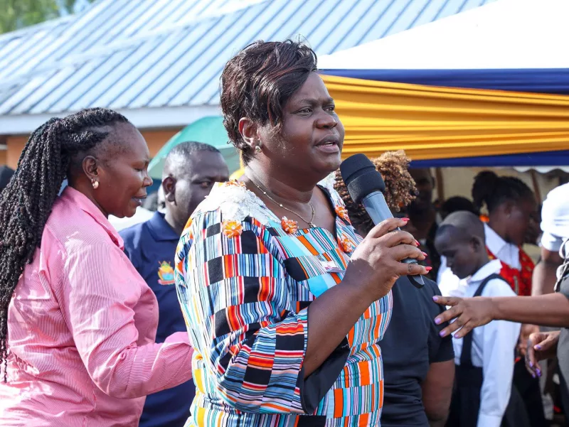

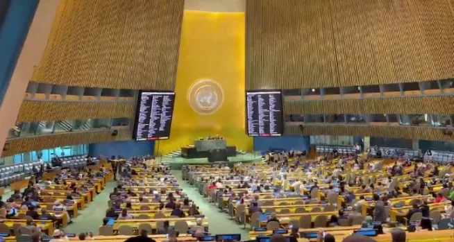
 Delegates during the meeting/COURTESY
The United Nations General Assembly has overwhelmingly backed an African-led initiative seeking to promote more accurate and equitable representations of the world, in a move hailed as a major step towards correcting long-standing distortions of Africa’s size.
The resolution, A/80/L.104, titled “Correct the Map: Rebalancing global cartographic representation and promoting equitable representation of the world’s regions, particularly Africa,” was adopted on Friday after receiving 164 votes in favour, one against and six abstentions. The UN had scheduled the draft for action during its plenary proceedings.
The initiative was championed by Togo on behalf of the African Group and had earlier received the backing of the African Union.
The AU described the adoption as a historic step towards ensuring that Africa is represented more accurately in maps used in education, media, digital platforms and international institutions.
“For centuries, the Mercator projection distorted global geography, shrinking Africa to the size of Greenland when our continent is actually 14 times larger,” the African Union said in its reaction to the vote.
The Union said the campaign seeks to encourage the use of equal-area projections, including the Equal Earth projection, which more accurately represents the relative size of continents.
“It might seem to be just a map, but in reality, it is not,” AU Deputy Chairperson Selma Malika Haddadi said previously, arguing that cartographic representation can influence how Africa is perceived globally.
The AU said the initiative goes beyond cartography, describing it as part of broader efforts to challenge historical narratives and strengthen Africa’s position and visibility internationally.
Togo, which spearheaded the initiative, presented it as an effort to address distortions that have shaped perceptions of the continent for generations.
Professor Robert Dussey, Togo’s Foreign Affairs Minister, urged African countries to mobilise behind the proposal ahead of the UN vote, describing it as a collective African initiative.
The AU said the next phase will involve working with member states, educators, geospatial experts, media practitioners, civil society and technology companies to promote wider adoption of more accurate mapping standards.
The Union also plans to engage international institutions, publishers, mapping providers and educational bodies to encourage the use of projections that reflect Africa’s true geographical scale.
The initiative has been linked to the AU’s broader agenda of correcting historical distortions and strengthening Africa’s ownership of its narrative.
The campaign argues that the widely used Mercator projection makes regions near the poles appear disproportionately large while reducing the apparent size of Africa.
With the UN vote, African advocates now have a stronger multilateral platform to push for changes in how the continent is portrayed on maps around the world.